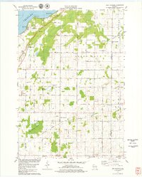
1978 Map of New Franken
USGS Topo · Published 1979About this map
The eastern shores of Green Bay anchor this landscape, where the coastal communities of Edgewater Beach, Point Comfort, and Benderville meet the rising terrain of the Door Peninsula. In the late 1970s, this area reflects a rural economy shaped by agriculture and the corridor of the Green Bay and Western railroad. The settlement of New Franken serves as a central hub, flanked by the sprawling New Franken Swamp to the southwest. The map documents a dense network of local history, including multiple religious sites such as St Kilian Ch, Our Lady Chapel, and Robinsonville Ch. These small hamlets, such as Champion, Walhain, and Sugar Bush, are connected by a grid of named rural roads like Van Lanen Road and Luxemburg Road, illustrating the persistent 19th-century settlement patterns even as modern infrastructure evolved around the Kewaunee River.
Find a feature on this map
54 named features on this map. Tap any name to fly to it.
Don’t see what you’re looking for? This feature index may not catch every label — zoom into the map to look around manually.
Map Details
Editions of this 1978 New Franken Map
2 editions found
Other maps of this area

1952 · Casco
USGS Topo · 1:62,500

1954 · Kewaunee
USGS Topo · 1:62,500

1954 · Denmark
USGS Topo · 1:62,500

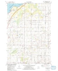
1954 · New Franken
USGS Topo · 1:62,500

1954 · Green Bay East
USGS Topo · 1:24,000

1954 · Manitowoc
USGS Topo · 1:250,000

1954 · Bellevue
USGS Topo · 1:24,000

1958 · Manitowoc
USGS Topo · 1:250,000
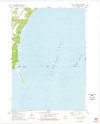
1974 · Little Tail Point
USGS Topo · 1:24,000

1978 · Namur
USGS Topo · 1:24,000