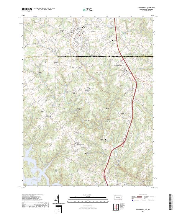
2023 Map of New Freedom
USGS Topo · Published 2023About this map
The Pennsylvania-Maryland border bisects this landscape, separating the York County town of New Freedom from the rural settlements of northern Baltimore County. The terrain is defined by a series of small, scattered communities like Bentley Springs, Maryland Line, and Freeland, many of which developed around early mills and agricultural transport routes. This modern survey illustrates the persistent importance of local heritage through its dense concentration of historic burial sites, including the Saint John the Baptist Roman Catholic Cem - Old and several family plots like the Kelley Family Cem. The Torrey C Brown Rail Trl follows a corridor of former rail activity, while named water features such as Harris Mill Creek and Georges Run drain the rolling hills. This area preserves a transition between the established borough of New Freedom and the small-scale mill sites at Gores Mill and Valley Mill.
Find a feature on this map
93 named features on this map. Tap any name to fly to it.
Don’t see what you’re looking for? This feature index may not catch every label — zoom into the map to look around manually.
Map Details
Editions of this 2023 New Freedom Map
This is the sole edition of this map. No revisions or reprints were ever made.
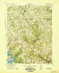
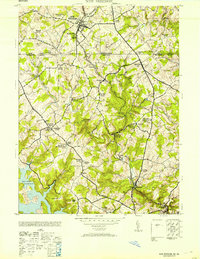
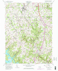
Historical Maps of Dairy Manor Farms Through Time
4 maps found