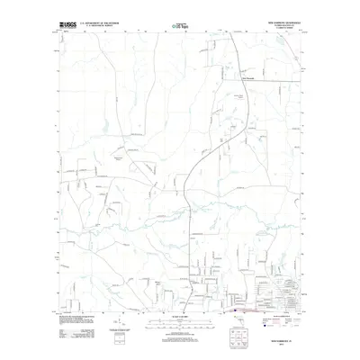
2012 Map of New Harmony
USGS Topo · Published 2012About this map
New Harmony sits at the northern end of this Florida landscape, where a network of local roads like the New Harmony Loop and Thorn Rd connect scattered homesteads and private landing strips. The terrain is defined by the winding course of the Shoal River, which serves as a central drainage for numerous tributaries including Machine Br, Battle Cr, and Adams Mill Cr. These waterways create a series of basins and small lakes, most notably Andrews Lake and Coal Spring Lake, which punctuate the low-lying areas south of Fox Hill.
Find a feature on this map
150 named features on this map. Tap any name to fly to it.
Don’t see what you’re looking for? This feature index may not catch every label — zoom into the map to look around manually.
Map Details
Editions of this 2012 New Harmony Map
This is the sole edition of this map. No revisions or reprints were ever made.
Other maps of this area

1934 · Niceville
USGS Topo · 1:48,000

1935 · De Funiak Springs
USGS Topo · 1:48,000

1936 · Niceville
USGS Topo · 1:62,500

1938 · De Funiak Springs
USGS Topo · 1:62,500

1949 · Glendale
USGS Topo · 1:62,500

1949 · Laurel Hill
USGS Topo · 1:62,500

1950 · Laurel Hill
USGS Topo · 1:62,500

1951 · Glendale
USGS Topo · 1:62,500

1956 · Niceville
USGS Topo · 1:62,500

1957 · Pensacola
USGS Topo · 1:250,000