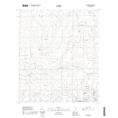
2021 Map of New Harmony
USGS Topo · Published 2021About this map
The Shoal River corridor dominates this Walton County landscape, winding through a complex network of wetlands and small lakes including Ross Lake, Coal Spring Lake, and Andrews Lake. This modern survey reveals a region defined by its hydrography, where numerous named tributaries like Adams Mill Cr and Battle Cr feed into the river basin. The settlement pattern is anchored by New Harmony in the northeast and the growing community of Mossy Head to the south, connected by a grid of county roads and unique local thoroughfares such as Snow Horse Way and Popcorn Ave.
Find a feature on this map
159 named features on this map. Tap any name to fly to it.
Don’t see what you’re looking for? This feature index may not catch every label — zoom into the map to look around manually.
Map Details
Editions of this 2021 New Harmony Map
This is the sole edition of this map. No revisions or reprints were ever made.
Other maps of this area

1934 · Niceville
USGS Topo · 1:48,000

1935 · De Funiak Springs
USGS Topo · 1:48,000

1936 · Niceville
USGS Topo · 1:62,500

1938 · De Funiak Springs
USGS Topo · 1:62,500

1949 · Glendale
USGS Topo · 1:62,500

1949 · Laurel Hill
USGS Topo · 1:62,500

1950 · Laurel Hill
USGS Topo · 1:62,500

1951 · Glendale
USGS Topo · 1:62,500

1956 · Niceville
USGS Topo · 1:62,500

1957 · Pensacola
USGS Topo · 1:250,000