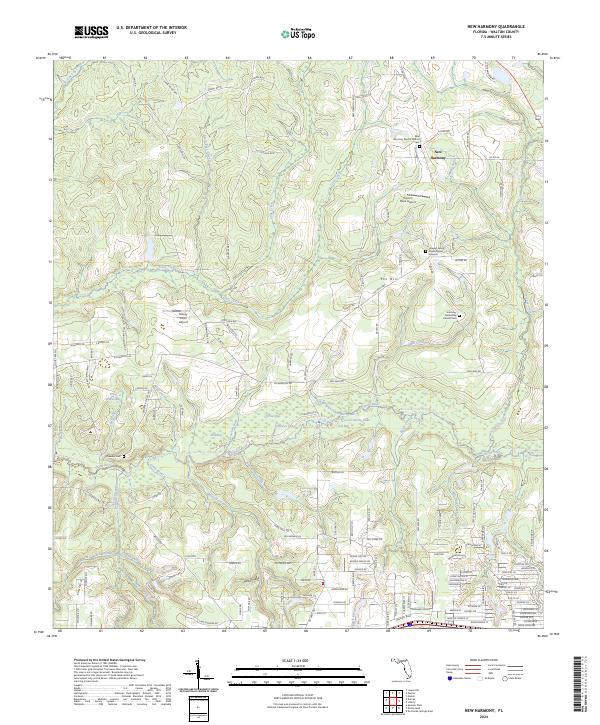
2024 Map of New Harmony
USGS Topo · Published 2024About this map
New Harmony and the surrounding Walton County countryside are defined by a complex network of waterways feeding into the Shoal River, which bisects the landscape. This rural area, surveyed in 2024, shows a pattern of dispersed settlements and family landholdings, such as those near Fox Hill. The map provides significant detail for genealogists, documenting several local burial sites including the Howard Family Private Burial Grounds, the Harmony Baptist Church Cem, and the Crowder Cem further south. The terrain is characterized by numerous low-lying wetlands and bays, such as Teal Bay and Piney Woods Bay, which contrast with the slightly higher ground of Mossy Head. Local aviation is represented by small airfields like Unicorn Place Airport and Breezy Knoll Airport, reflecting the region's low-density rural character.
Find a feature on this map
202 named features on this map. Tap any name to fly to it.
Don’t see what you’re looking for? This feature index may not catch every label — zoom into the map to look around manually.
Map Details
Editions of this 2024 New Harmony Map
This is the sole edition of this map. No revisions or reprints were ever made.
Other maps of this area

1934 · Niceville
USGS Topo · 1:48,000

1935 · De Funiak Springs
USGS Topo · 1:48,000

1936 · Niceville
USGS Topo · 1:62,500

1938 · De Funiak Springs
USGS Topo · 1:62,500

1949 · Glendale
USGS Topo · 1:62,500

1949 · Laurel Hill
USGS Topo · 1:62,500

1950 · Laurel Hill
USGS Topo · 1:62,500

1951 · Glendale
USGS Topo · 1:62,500

1956 · Niceville
USGS Topo · 1:62,500

1957 · Pensacola
USGS Topo · 1:250,000