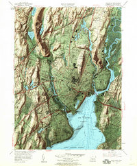
1954 Map of New Haven
USGS Topo · Published 1960About this map
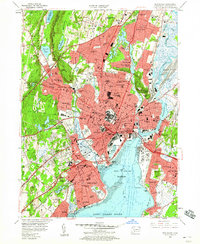
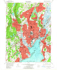
New Haven is shown here as a dense coastal hub at mid-century, bounded by the prominent ridges of West Rock Ridge and East Rock. The landscape reveals a complex network of academic, industrial, and maritime influences, centered around Yale University and the massive Yale Bowl. The shoreline is heavily utilized, from the busy docks of New Haven Harbor and City Point to the recreational stretches near Savin Rock and Lighthouse Point Park.
Find a feature on this map
107 named features on this map. Tap any name to fly to it.
Don’t see what you’re looking for? This feature index may not catch every label — zoom into the map to look around manually.
Map Details
Editions of this 1954 New Haven Map
6 editions found
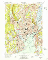
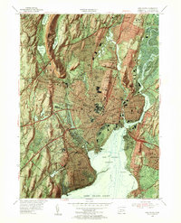
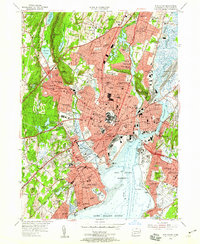
Other maps of this area

1889 · Derby
USGS Topo · 1:62,500

1891 · Bridgeport
USGS Topo · 1:62,500

1891 · Derby
USGS Topo · 1:62,500

1892 · New Haven
USGS Topo · 1:62,500

1893 · Bridgeport
USGS Topo · 1:62,500

1893 · Derby
USGS Topo · 1:62,500

1920 · Bridgeport
USGS Topo · 1:62,500

1921 · New Haven
USGS Topo · 1:62,500

1943 · New Haven
USGS Topo · 1:31,680

1943 · Naugatuck
USGS Topo · 1:31,680