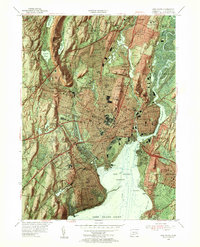
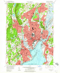
1954 Map of New Haven
USGS Topo · Published 1956About this map
The Yale University campus and its sprawling collegiate infrastructure dominate this mid-century survey of the Connecticut coast. The urban landscape of New Haven is highly developed, featuring a dense network of schools such as the State Teachers College and Albertus Magnus College, alongside the iconic Yale Bowl and Yale Golf Course. To the west, the West Rock Ridge provides a dramatic natural boundary, pierced by the West Rock Tunnel which carries the Merritt Parkway through the trap rock formation. This era shows the city’s industrial and transit hubs in full swing, from the New York New Haven and Hartford RR yards to the New Haven Municipal Airport at Morris Cove. Along the shoreline, established neighborhoods like West Haven and the amusement district at Savin Rock sit near the mouth of the Quinnipiac River, highlighting a period of intense coastal settlement before later interstate expansions reshaped the harbor.
Find a feature on this map
129 named features on this map. Tap any name to fly to it.
Don’t see what you’re looking for? This feature index may not catch every label — zoom into the map to look around manually.
Map Details
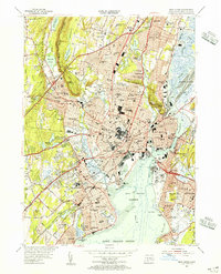
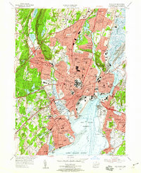
Editions of this 1954 New Haven Map
6 editions found
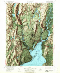
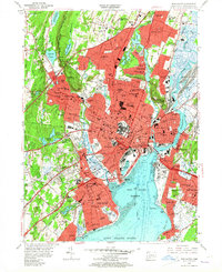
Other maps of this area

1889 · Derby
USGS Topo · 1:62,500

1891 · Bridgeport
USGS Topo · 1:62,500

1891 · Derby
USGS Topo · 1:62,500

1892 · New Haven
USGS Topo · 1:62,500

1893 · Bridgeport
USGS Topo · 1:62,500

1893 · Derby
USGS Topo · 1:62,500

1920 · Bridgeport
USGS Topo · 1:62,500

1921 · New Haven
USGS Topo · 1:62,500

1943 · New Haven
USGS Topo · 1:31,680

1943 · Naugatuck
USGS Topo · 1:31,680