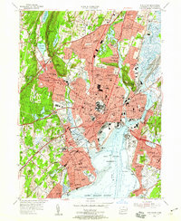
1954 Map of New Haven
USGS Topo · Published 1959About this map
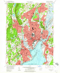
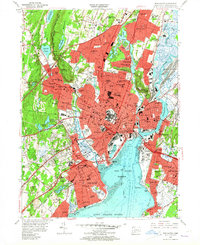
Yale University and the downtown urban core dominate this mid-century landscape, revealing the city's structure before the peak of modern interstate construction. The map detail shows the sprawling campus including the Yale Bowl and the Yale Medical School, while the industrial and maritime character of the region is evident at City Point and along the New Haven Harbor. The New York New Haven and Hartford railroad lines create a dense web through the harbor area, connecting established neighborhoods like Fair Haven and Westville.
Find a feature on this map
111 named features on this map. Tap any name to fly to it.
Don’t see what you’re looking for? This feature index may not catch every label — zoom into the map to look around manually.
Map Details
Editions of this 1954 New Haven Map
6 editions found
Other maps of this area

1889 · Derby
USGS Topo · 1:62,500

1891 · Bridgeport
USGS Topo · 1:62,500

1891 · Derby
USGS Topo · 1:62,500

1892 · New Haven
USGS Topo · 1:62,500

1893 · Bridgeport
USGS Topo · 1:62,500

1893 · Derby
USGS Topo · 1:62,500

1920 · Bridgeport
USGS Topo · 1:62,500

1921 · New Haven
USGS Topo · 1:62,500

1943 · New Haven
USGS Topo · 1:31,680

1943 · Naugatuck
USGS Topo · 1:31,680