
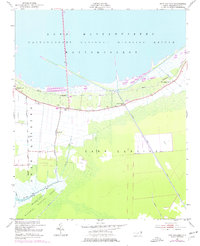
1951 Map of New Holland
USGS Topo · Published 1953About this map
Lake Mattamuskeet dominates this coastal landscape, its expansive waters bordered by the Mattamuskeet National Wildlife Refuge. The map reveals a highly structured drainage system defined by a network of Canals, including the prominent Outfall, which speak to the complex water management history of Hyde County. This agrarian and wilderness mosaic is dotted with small community landmarks, from the New Holland Sch to local houses of worship like Old Richmond Ch and Soule Ch.
Find a feature on this map
21 named features on this map. Tap any name to fly to it.
Don’t see what you’re looking for? This feature index may not catch every label — zoom into the map to look around manually.
Map Details
Editions of this 1951 New Holland Map
2 editions found
Other maps of this area

1943 · Columbia
USGS Topo · 1:125,000
1951 · Bluff Point
USGS Topo · 1:24,000

1951 · Middletown
USGS Topo · 1:24,000

1951 · Great Island
USGS Topo · 1:24,000

1951 · Engelhard West
USGS Topo · 1:24,000

1951 · Swanquarter
USGS Topo · 1:24,000

1951 · Fairfield
USGS Topo · 1:24,000

1951 · New Lake SE
USGS Topo · 1:24,000

1953 · Rocky Mount
USGS Topo · 1:250,000

1954 · Rocky Mount
USGS Topo · 1:250,000