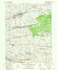
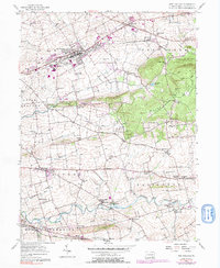
1956 Map of New Holland
USGS Topo · Published 1971About this map
Lancaster County's agricultural heartland is centered here on the Penn Central rail line, showing the post-war expansion of New Holland and surrounding Amish country. The landscape transitions from the fertile valley floors along Pequea Creek to the prominent rising terrain of Welsh Mountain in the east. This era's infrastructure is marked by a dense network of country schools like Mussers Sch and Hickory Grove Sch, alongside traditional meeting places such as Zeltenriech Ch and Mt Tabor Ch. The map captures the region's unique settlement pattern, where small crossroads like Intercourse and Blue Ball anchor the surrounding farmland. Purple photorevisions from 1969 reveal modernization, including the New Holland Airport and a microwave tower, illustrating the gradual shift as industrial and utility footprints began to intermingle with the traditional dairy and tobacco fields of the Pennsylvania Dutch countryside.
Find a feature on this map
78 named features on this map. Tap any name to fly to it.
Don’t see what you’re looking for? This feature index may not catch every label — zoom into the map to look around manually.
Map Details
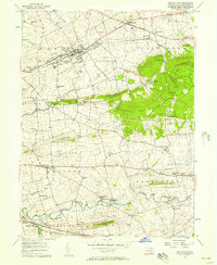
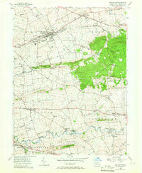
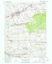
Editions of this 1956 New Holland Map
5 editions found
Other maps of this area

1904 · Coatesville
USGS Topo · 1:62,500

1905 · Honey Brook
USGS Topo · 1:62,500

1906 · Coatesville
USGS Topo · 1:62,500

1906 · New Holland
USGS Topo · 1:62,500

1907 · Honeybrook
USGS Topo · 1:62,500

1908 · New Holland
USGS Topo · 1:62,500

1912 · Quarryville
USGS Topo · 1:62,500

1918 · Coatesville
USGS Topo · 1:62,500

1941 · Honeybrook
USGS Topo · 1:62,500

1941 · New Holland
USGS Topo · 1:62,500
Featured Places
- East Earl Township, PA
- New Holland, PA
- Paradise Township, PA
- Blue Ball, East Earl Township
- Leacock Township, PA