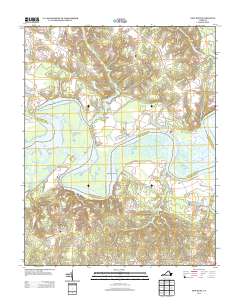
2013 Map of New Kent
USGS Topo · Published 2013About this map
The Pamunkey River winds through this coastal Virginia landscape, defining a complex network of waterways and marshlands south of Lanesville. The map highlights the intricate hydrography of the region, including the Bell Thorofare and Cumberland Thorofare which bypass larger land masses like West Island and Chandlers Island. Human settlement is sparse and follows the higher ground between the river and its many tributaries, such as Holts Cr and Cohoke Mill Cr.
Find a feature on this map
28 named features on this map. Tap any name to fly to it.
Don’t see what you’re looking for? This feature index may not catch every label — zoom into the map to look around manually.
Map Details
Editions of this 2013 New Kent Map
This is the sole edition of this map. No revisions or reprints were ever made.
Other maps of this area
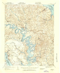
1917 · Toano
USGS Topo · 1:62,500
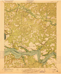
1918 · Charles City
USGS Topo · 1:62,500
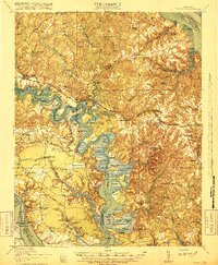
1918 · Toano
USGS Topo · 1:62,500
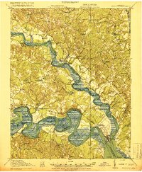
1919 · New Kent
USGS Topo · 1:62,500
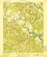
1920 · King William
USGS Topo · 1:62,500

1943 · Richmond
USGS Topo · 1:250,000
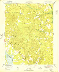
1949 · Truhart
USGS Topo · 1:24,000
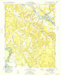
1949 · King William
USGS Topo · 1:24,000
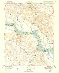
1949 · King And Queen
USGS Topo · 1:24,000
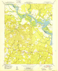
1949 · Tunstall
USGS Topo · 1:24,000