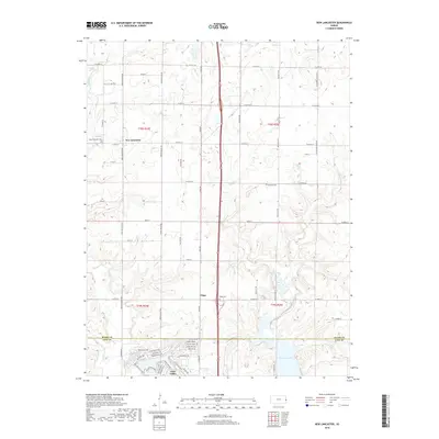
2018 Map of New Lancaster
USGS Topo · Published 2018About this map
Linn Valley and its intricate network of residential drives like Fascination Ln and Fawn Valley Dr sit at the southern edge of this landscape, just across the border into Linn County. The area is defined by a series of north-south drainage systems, including Middle Cr and Elm Cr, which flow through the rolling agricultural lands of eastern Kansas. Further north in Miami County, the crossroads settlement of New Lancaster is anchored by the New Lancaster Cemetery at the intersection of Pflumm Rd and W 367th Street.
Find a feature on this map
59 named features on this map. Tap any name to fly to it.
Don’t see what you’re looking for? This feature index may not catch every label — zoom into the map to look around manually.
Map Details
Editions of this 2018 New Lancaster Map
This is the sole edition of this map. No revisions or reprints were ever made.
Other maps of this area

1887 · Olathe
USGS Topo · 1:125,000

1887 · Mound City
USGS Topo · 1:125,000

1893 · Mound City
USGS Topo · 1:125,000

1893 · Olathe
USGS Topo · 1:125,000

1947 · Lawrence
USGS Topo · 1:250,000

1950 · Lawrence
USGS Topo · 1:250,000

1953 · Freeman
USGS Topo · 1:24,000

1956 · Paola East
USGS Topo · 1:24,000

1956 · Lawrence
USGS Topo · 1:250,000
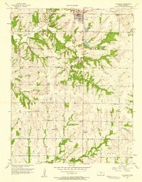
1957 · Louisburg
USGS Topo · 1:24,000