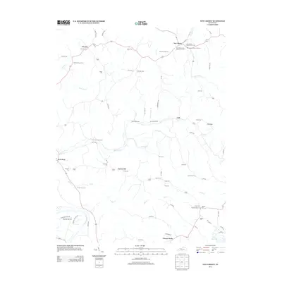
2013 Map of New Liberty
USGS Topo · Published 2013About this map
New Liberty serves as the primary hub of this Owen County landscape, situated where New Liberty Rd meets several local routes. The area is defined by a dense concentration of historical burial grounds and churches, such as the New Liberty Baptist Church Cem and the New Liberty IOOF Cem, reflecting the deep roots of the local community. To the southwest, the Kentucky River winds past Marshall Bottom, while the smaller community of Squiresville is surrounded by numerous family-named cemeteries including the Snodgrass Cem and Thomas Cem.
Find a feature on this map
83 named features on this map. Tap any name to fly to it.
Don’t see what you’re looking for? This feature index may not catch every label — zoom into the map to look around manually.
Map Details
Editions of this 2013 New Liberty Map
This is the sole edition of this map. No revisions or reprints were ever made.
Other maps of this area

1906 · Lockport
USGS Topo · 1:48,000

1908 · Lockport
USGS Topo · 1:62,500

1928 · New Castle
USGS Topo · 1:48,000

1932 · New Castle
USGS Topo · 1:62,500

1943 · Vevay South
USGS Topo · 1:24,000

1950 · New Liberty
USGS Topo · 1:24,000

1950 · Glencoe
USGS Topo · 1:24,000

1950 · Owenton
USGS Topo · 1:24,000

1951 · Sanders
USGS Topo · 1:24,000

1952 · Vevay South
USGS Topo · 1:24,000