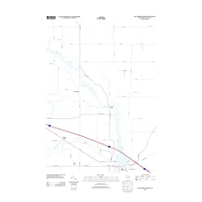
2013 Map of New Lisbon North
USGS Topo · Published 2013About this map
The Lemonweir River carves a highly sinuous path through this Wisconsin landscape, winding past the northern edge of New Lisbon. This 2013 survey illustrates the convergence of waterways and transit corridors in Juneau County, where the river meets New Lisbon Lake and is joined by the Little Lemonweir River to the south. Historically significant landmarks and small settlements like Orange Mill and Lone Rock are documented alongside the modern infrastructure of Interstate 90/94 and Us-12.
Find a feature on this map
52 named features on this map. Tap any name to fly to it.
Don’t see what you’re looking for? This feature index may not catch every label — zoom into the map to look around manually.
Map Details
Editions of this 2013 New Lisbon North Map
This is the sole edition of this map. No revisions or reprints were ever made.
Other maps of this area

1919 · Kendall
USGS Topo · 1:62,500

1921 · Mauston
USGS Topo · 1:62,500

1921 · Kendall
USGS Topo · 1:62,500

1953 · Eau Claire
USGS Topo · 1:250,000

1958 · Eau Claire
USGS Topo · 1:250,000

1958 · Necedah
USGS Topo · 1:48,000

1958 · Wyeville
USGS Topo · 1:48,000

1958 · La Crosse
USGS Topo · 1:250,000

1961 · La Crosse
USGS Topo · 1:250,000

1962 · Kendall
USGS Topo · 1:62,500