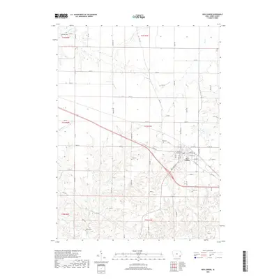
2018 Map of New London
USGS Topo · Published 2018About this map
New London stands as the primary hub of this eastern Iowa landscape, where the grid of a modern township meets the intricate drainage systems of the Big Creek watershed. The map reveals a high concentration of burial grounds, including Ebeneezer Cem in the north and Beery Cem to the southwest, serving as vital markers for genealogical research. The terrain is deeply carved by numerous waterways such as Spearman Br, Dickey Br, and Brush Cr, which create a complex network of ridges and valleys that have historically dictated the placement of homesteads and local transit. The transition from the rural roads like Oasis Ave and Quaker Ave to the more structured streets of W Main St and E McKinley St illustrates the development of this agricultural community and its orientation toward the US Hwy 34 corridor.
Find a feature on this map
59 named features on this map. Tap any name to fly to it.
Don’t see what you’re looking for? This feature index may not catch every label — zoom into the map to look around manually.
Map Details
Editions of this 2018 New London Map
This is the sole edition of this map. No revisions or reprints were ever made.
Other maps of this area

1958 · Burlington
USGS Topo · 1:250,000

1958 · Davenport
USGS Topo · 1:250,000

1961 · Burlington
USGS Topo · 1:250,000

1961 · Davenport
USGS Topo · 1:250,000

1962 · Davenport
USGS Topo · 1:250,000

1963 · Burlington
USGS Topo · 1:250,000

1981 · Mount Pleasant
USGS Topo · 1:24,000
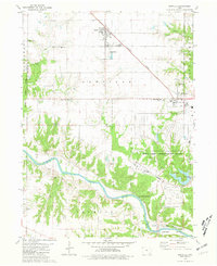
1981 · Danville
USGS Topo · 1:24,000
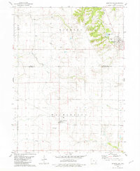
1981 · Morning Sun
USGS Topo · 1:24,000
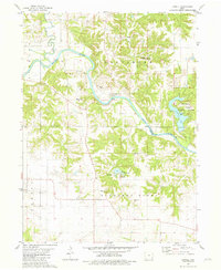
1981 · Lowell
USGS Topo · 1:24,000