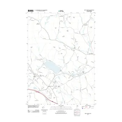
2012 Map of New London
USGS Topo · Published 2012About this map
New London and the surrounding villages of Elkins, Wilmot Flat, and Crockett Corner anchor this landscape, where the educational grounds of Colby Sawyer College meet the shores of Pleasant Lake. The terrain is defined by a series of prominent peaks and ridges, including Bog Mountain and Philbrick Hill, which dictate the winding paths of rural routes like Quaker Path and Granite Hill Rd. In the south, the King Ridge Ski Area and Lake Sunapee Golf Course indicate the area's development as a recreational hub.
Find a feature on this map
147 named features on this map. Tap any name to fly to it.
Don’t see what you’re looking for? This feature index may not catch every label — zoom into the map to look around manually.
Map Details
Editions of this 2012 New London Map
This is the sole edition of this map. No revisions or reprints were ever made.
Other maps of this area

1902 · Sunapee
USGS Topo · 1:62,500

1905 · Sunapee
USGS Topo · 1:62,500

1907 · Sunapee
USGS Topo · 1:62,500

1927 · Cardigan
USGS Topo · 1:62,500

1927 · Mascoma
USGS Topo · 1:62,500

1928 · Mount Kearsarge
USGS Topo · 1:62,500

1930 · Cardigan
USGS Topo · 1:62,500

1931 · Mount Kearsarge
USGS Topo · 1:62,500

1932 · Mascoma
USGS Topo · 1:62,500

1949 · Portland
USGS Topo · 1:250,000