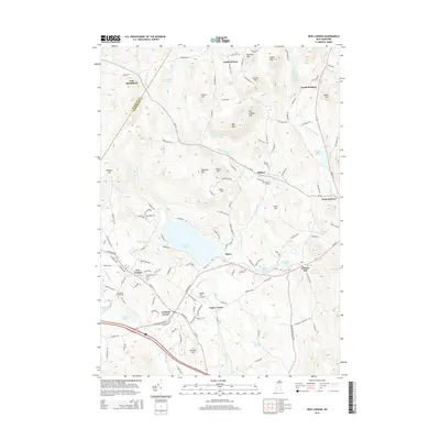
2015 Map of New London
USGS Topo · Published 2015About this map
New London and the surrounding highlands of Merrimack County are defined by a complex network of glacial ponds and prominent hills. The town serves as a regional center, anchored by the campus of Colby-Sawyer Coll and bordered by the sprawling waters of Pleasant Lake. Settlement patterns follow the winding valleys, with smaller communities like Elkins and Wilmot Flat established along the watercourses of Whitney Brook and Cascade Brook.
Find a feature on this map
143 named features on this map. Tap any name to fly to it.
Don’t see what you’re looking for? This feature index may not catch every label — zoom into the map to look around manually.
Map Details
Editions of this 2015 New London Map
This is the sole edition of this map. No revisions or reprints were ever made.
Other maps of this area

1902 · Sunapee
USGS Topo · 1:62,500

1905 · Sunapee
USGS Topo · 1:62,500

1907 · Sunapee
USGS Topo · 1:62,500

1927 · Cardigan
USGS Topo · 1:62,500

1927 · Mascoma
USGS Topo · 1:62,500

1928 · Mount Kearsarge
USGS Topo · 1:62,500

1930 · Cardigan
USGS Topo · 1:62,500

1931 · Mount Kearsarge
USGS Topo · 1:62,500

1932 · Mascoma
USGS Topo · 1:62,500

1949 · Portland
USGS Topo · 1:250,000