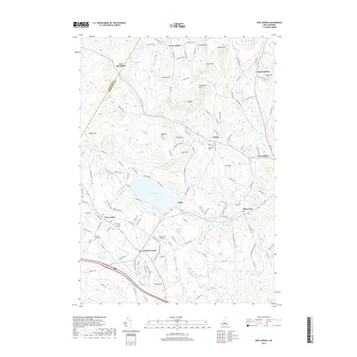
2018 Map of New London
USGS Topo · Published 2018About this map
New London and the surrounding highlands of Merrimack County are anchored by Pleasant Lake, a significant water body fed by White Brook and Red Brook. The town serves as a hub for the region, notably housing the campus of Colby-Sawyer College and historic sites such as the Old Main Street Cem. The landscape is a mosaic of small villages and crossroads, from Elkins on the eastern shore of the lake to Crockett Corner and Wilmot Flat farther east along Cascade Brook.
Find a feature on this map
139 named features on this map. Tap any name to fly to it.
Don’t see what you’re looking for? This feature index may not catch every label — zoom into the map to look around manually.
Map Details
Editions of this 2018 New London Map
This is the sole edition of this map. No revisions or reprints were ever made.
Other maps of this area

1902 · Sunapee
USGS Topo · 1:62,500

1905 · Sunapee
USGS Topo · 1:62,500

1907 · Sunapee
USGS Topo · 1:62,500

1927 · Cardigan
USGS Topo · 1:62,500

1927 · Mascoma
USGS Topo · 1:62,500

1928 · Mount Kearsarge
USGS Topo · 1:62,500

1930 · Cardigan
USGS Topo · 1:62,500

1931 · Mount Kearsarge
USGS Topo · 1:62,500

1932 · Mascoma
USGS Topo · 1:62,500

1949 · Portland
USGS Topo · 1:250,000