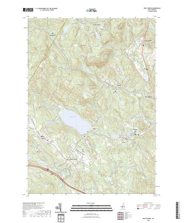
2024 Map of New London
USGS Topo · Published 2024About this map
New London serves as a central hub in this Merrimack County landscape, home to the campus of Colby-Sawyer College and several historic burying grounds like the Old Main Street Cem. The area is characterized by a high density of named hills and mountains, including Bog Mtn and the northern slopes of Kearsarge Mountain, which are traversed by the extensive Sunapee-Ragged-Kearsarge Greenway Trl. To the east, Wilmot Flat and Elkins sit near the shores of Pleasant Lake, while the northeastern corridor follows the path of the Northern Rail Trl through South Danbury. This rail-to-trail conversion marks the historic transportation spine of the region, passing near the Eagle Pond Cem and several smaller brooks. The map also identifies local aviation history at Eagles Nest Airport and preserves numerous family-named landmarks and cemeteries, such as Tewksbury Hill Cem and Durgin Cem, which offer significant value for genealogical research.
Find a feature on this map
67 named features on this map. Tap any name to fly to it.
Don’t see what you’re looking for? This feature index may not catch every label — zoom into the map to look around manually.
Map Details
Editions of this 2024 New London Map
This is the sole edition of this map. No revisions or reprints were ever made.
Other maps of this area

1902 · Sunapee
USGS Topo · 1:62,500

1905 · Sunapee
USGS Topo · 1:62,500

1907 · Sunapee
USGS Topo · 1:62,500

1927 · Cardigan
USGS Topo · 1:62,500

1927 · Mascoma
USGS Topo · 1:62,500

1928 · Mount Kearsarge
USGS Topo · 1:62,500

1930 · Cardigan
USGS Topo · 1:62,500

1931 · Mount Kearsarge
USGS Topo · 1:62,500

1932 · Mascoma
USGS Topo · 1:62,500

1949 · Portland
USGS Topo · 1:250,000