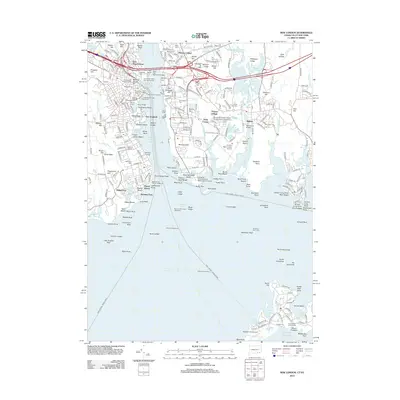
2012 Map of New London
USGS Topo · Published 2012About this map
Fort Griswold and Fort Trumbull stand as sentinel reminders of the strategic maritime heritage at the mouth of the Thames River in this coastal Connecticut study. The landscape is a dense assembly of historic navigation and defense landmarks, featuring both the New London Harbor Lighthouse and the unique offshore New London Ledge Lighthouse. The mapping details a vibrant shoreline economy and infrastructure, from the New London City Pier to the various ferry routes such as the Fishers Island Ferry and the crossing to Block Island.
Find a feature on this map
235 named features on this map. Tap any name to fly to it.
Don’t see what you’re looking for? This feature index may not catch every label — zoom into the map to look around manually.
Map Details
Editions of this 2012 New London Map
This is the sole edition of this map. No revisions or reprints were ever made.
Other maps of this area

1889 · Stonington
USGS Topo · 1:62,500

1892 · New London
USGS Topo · 1:62,500

1893 · Stonington
USGS Topo · 1:62,500

1893 · New London
USGS Topo · 1:62,500

1903 · Gardiners Island
USGS Topo · 1:62,500

1904 · Gardiners Island
USGS Topo · 1:62,500

1904 · Montauk
USGS Topo · 1:62,500

1921 · Gardiners Island
USGS Topo · 1:62,500

1921 · New London
USGS Topo · 1:62,500

1921 · Stonington
USGS Topo · 1:62,500