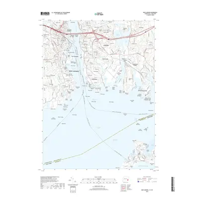
2018 Map of New London
USGS Topo · Published 2018About this map
The Thames River divides the maritime centers of New London and Groton in this detailed 2018 survey, which highlights the area's deep military and educational roots. On the western bank, the United States Coast Guard Acad and Mitchell College sit near the historic Fort Trumbull, while across the Gold Star Memorial Bridge, the heights of Ft Griswold overlook the river mouth. The map documents significant local history sites including Ye Antientist Burial Ground and Cedar Grove Cem.
Find a feature on this map
129 named features on this map. Tap any name to fly to it.
Don’t see what you’re looking for? This feature index may not catch every label — zoom into the map to look around manually.
Map Details
Editions of this 2018 New London Map
This is the sole edition of this map. No revisions or reprints were ever made.
Other maps of this area

1889 · Stonington
USGS Topo · 1:62,500

1892 · New London
USGS Topo · 1:62,500

1893 · Stonington
USGS Topo · 1:62,500

1893 · New London
USGS Topo · 1:62,500

1903 · Gardiners Island
USGS Topo · 1:62,500

1904 · Gardiners Island
USGS Topo · 1:62,500

1904 · Montauk
USGS Topo · 1:62,500

1921 · Gardiners Island
USGS Topo · 1:62,500

1921 · New London
USGS Topo · 1:62,500

1921 · Stonington
USGS Topo · 1:62,500