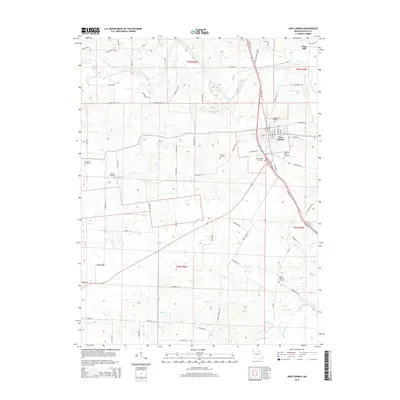
2014 Map of New London
USGS Topo · Published 2014About this map
New London serves as the focal point of this Ralls County survey, situated just south of the winding Salt River. The town's layout is clearly defined, surrounded by a high density of rural burial sites that offer significant value for genealogical research, including Barkley Cemetery, Pleasant View Cemetery, and Watson Cemetery. The landscape is carved by numerous waterways like Turkey Cr and Plum Cr, which feed into the primary river system to the north.
Find a feature on this map
81 named features on this map. Tap any name to fly to it.
Don’t see what you’re looking for? This feature index may not catch every label — zoom into the map to look around manually.
Map Details
Editions of this 2014 New London Map
This is the sole edition of this map. No revisions or reprints were ever made.
Other maps of this area

1890 · Louisiana
USGS Topo · 1:125,000

1890 · Mexico
USGS Topo · 1:125,000

1903 · Palmyra
USGS Topo · 1:125,000

1932 · Hannibal
USGS Topo · 1:62,500

1936 · Hannibal
USGS Topo · 1:48,000

1943 · Vandalia
USGS Topo · 1:62,500

1945 · Hannibal
USGS Topo · 1:62,500

1945 · Perry
USGS Topo · 1:62,500

1945 · Vandalia
USGS Topo · 1:62,500

1948 · Quincy
USGS Topo · 1:250,000