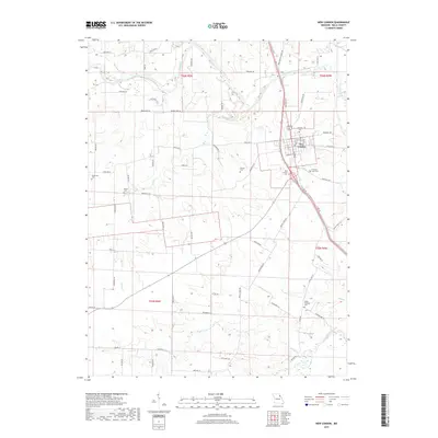
2017 Map of New London
USGS Topo · Published 2017About this map
The county seat of New London serves as the central hub of this 2017 Ralls County survey, situated above the winding path of the Salt River. The landscape is defined by its rural heritage, preserved through numerous historic family and community burial grounds including Barkley Cem, New London Cem, and the more remote Mount Sterling Cem to the southeast. Of particular interest to local historians is the location of Freemore's Lick, a geographic landmark tucked north of the town near Big Cr. The area is characterized by a high density of small watercourses such as Turkey Cr, Brush Cr, and Plum Cr, which feed into the larger river systems. This modern survey provides a detailed look at contemporary property lines and road networks like Kingsville Ln and Bethel Rd, while maintaining the location of longstanding landmarks such as Bethel Ch.
Find a feature on this map
79 named features on this map. Tap any name to fly to it.
Don’t see what you’re looking for? This feature index may not catch every label — zoom into the map to look around manually.
Map Details
Editions of this 2017 New London Map
This is the sole edition of this map. No revisions or reprints were ever made.
Other maps of this area

1890 · Louisiana
USGS Topo · 1:125,000

1890 · Mexico
USGS Topo · 1:125,000

1903 · Palmyra
USGS Topo · 1:125,000

1932 · Hannibal
USGS Topo · 1:62,500

1936 · Hannibal
USGS Topo · 1:48,000

1943 · Vandalia
USGS Topo · 1:62,500

1945 · Hannibal
USGS Topo · 1:62,500

1945 · Perry
USGS Topo · 1:62,500

1945 · Vandalia
USGS Topo · 1:62,500

1948 · Quincy
USGS Topo · 1:250,000