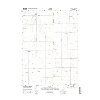
2014 Map of New Lothrop
USGS Topo · Published 2014About this map
New Lothrop stands as the primary settlement in this corner of Shiawassee County, characterized by a well-defined grid of streets including S Saginaw St and Maple St. The landscape is defined by an intricate network of waterways and agricultural drainage systems, most notably the winding course of Misteguay Cr and Onion Cr. The boundary between Shiawassee and Genesee counties bisects the map along Sheridan Ave, separating the core of New Lothrop from the eastern village of Brent Creek. Local history and genealogy are well represented by long-standing landmarks such as Hazelton Cem and the more remote Cummings Cem. The abundance of named drainage features, including Puffer Drain and Limbarg Drain, reflects the intensive land management required for the region's productive farm country.
Find a feature on this map
79 named features on this map. Tap any name to fly to it.
Don’t see what you’re looking for? This feature index may not catch every label — zoom into the map to look around manually.
Map Details
Editions of this 2014 New Lothrop Map
This is the sole edition of this map. No revisions or reprints were ever made.
Other maps of this area

1917 · Chesaning
USGS Topo · 1:62,500

1919 · Burt
USGS Topo · 1:62,500

1921 · Burt
USGS Topo · 1:62,500

1922 · Durand
USGS Topo · 1:62,500

1926 · Corunna
USGS Topo · 1:62,500

1929 · Corunna
USGS Topo · 1:62,500

1943 · Burt
USGS Topo · 1:62,500

1943 · Chesaning
USGS Topo · 1:62,500

1943 · Durand
USGS Topo · 1:62,500

1944 · Corunna
USGS Topo · 1:62,500