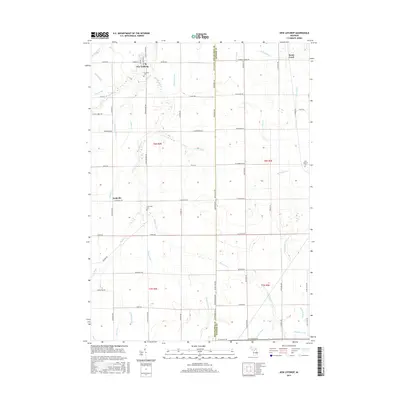
2017 Map of New Lothrop
USGS Topo · Published 2017About this map
New Lothrop serves as the primary hub in this portion of the Michigan landscape, situated where the boundary between Shiawassee and Genesee counties meets. The terrain is defined by an intricate network of waterways and drainage systems, including the meandering Misteguay Cr and Brent Cr, which have historically shaped the agricultural layout of the region. This 2017 survey reveals the enduring rural structure of the area, evidenced by the presence of local landmarks such as Hazelton Cem and Cummings Cem. To the east, the settlement of Brent Creek sits near the confluence of Kellan Drain and the creek from which it takes its name. The grid of country roads, from Durand Rd to Sheridan Rd, provides clear orientation for those tracing the development of these townships and their family-named landmarks like Hertrich Drain.
Find a feature on this map
75 named features on this map. Tap any name to fly to it.
Don’t see what you’re looking for? This feature index may not catch every label — zoom into the map to look around manually.
Map Details
Editions of this 2017 New Lothrop Map
This is the sole edition of this map. No revisions or reprints were ever made.
Other maps of this area

1917 · Chesaning
USGS Topo · 1:62,500

1919 · Burt
USGS Topo · 1:62,500

1921 · Burt
USGS Topo · 1:62,500

1922 · Durand
USGS Topo · 1:62,500

1926 · Corunna
USGS Topo · 1:62,500

1929 · Corunna
USGS Topo · 1:62,500

1943 · Burt
USGS Topo · 1:62,500

1943 · Chesaning
USGS Topo · 1:62,500

1943 · Durand
USGS Topo · 1:62,500

1944 · Corunna
USGS Topo · 1:62,500