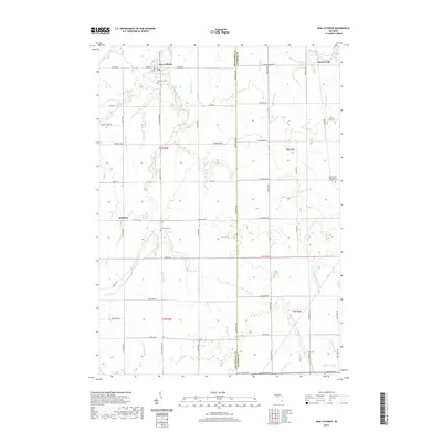
2019 Map of New Lothrop
USGS Topo · Published 2019About this map
New Lothrop serves as the primary hub of this rural Michigan landscape, situated at the intersection of Easton Rd and New Lothrop Rd. The settlement pattern is defined by a dense network of agricultural drainage systems, including the Misteguay Cr and various named channels like Cronk Drain and Kelland Drain that support the surrounding farmsteads. To the east, the smaller community of Brent Creek sits near the winding course of Brent Cr, while the crossroads of Juddville marks the western edge of the quadrangle. Local history and genealogy are anchored by several notable burial grounds, such as Hazelton Cem just south of New Lothrop and the Saint Robert Bellarmine Catholic Cem located toward the eastern boundary. This document details the exact layout of sections and township lines between Shiawassee and Genesee counties, showing the transition from early 20th-century agrarian roots to modern parcel divisions.
Find a feature on this map
70 named features on this map. Tap any name to fly to it.
Don’t see what you’re looking for? This feature index may not catch every label — zoom into the map to look around manually.
Map Details
Editions of this 2019 New Lothrop Map
This is the sole edition of this map. No revisions or reprints were ever made.
Other maps of this area

1917 · Chesaning
USGS Topo · 1:62,500

1919 · Burt
USGS Topo · 1:62,500

1921 · Burt
USGS Topo · 1:62,500

1922 · Durand
USGS Topo · 1:62,500

1926 · Corunna
USGS Topo · 1:62,500

1929 · Corunna
USGS Topo · 1:62,500

1943 · Burt
USGS Topo · 1:62,500

1943 · Chesaning
USGS Topo · 1:62,500

1943 · Durand
USGS Topo · 1:62,500

1944 · Corunna
USGS Topo · 1:62,500