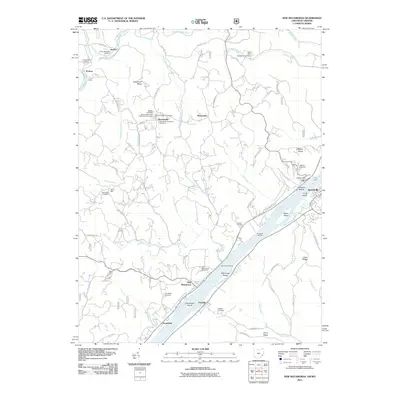
2011 Map of New Matamoras
USGS Topo · Published 2011About this map
The Ohio River serves as the dominant artery of this landscape, dividing the riverfront communities of New Matamoras and Grandview from their West Virginia neighbors in Sistersville and Friendly. This 2011 survey documents a river valley defined by its islands, including Crab Island, Wells Island, and Grandview Island, which have long shaped navigation and settlement patterns in the region. The map captures the continued significance of river crossings and access points through features like the Fly Ferry, Bradfield Landing, and Mill Creek Landing.
Find a feature on this map
94 named features on this map. Tap any name to fly to it.
Don’t see what you’re looking for? This feature index may not catch every label — zoom into the map to look around manually.
Map Details
Editions of this 2011 New Matamoras Map
This is the sole edition of this map. No revisions or reprints were ever made.
Other maps of this area

1905 · West Union
USGS Topo · 1:62,500

1905 · New Matamoras
USGS Topo · 1:62,500

1906 · Saint Marys
USGS Topo · 1:62,500

1906 · New Martinsville
USGS Topo · 1:62,500

1924 · St Marys
USGS Topo · 1:62,500

1924 · New Martinsville
USGS Topo · 1:62,500

1924 · New Matamoras
USGS Topo · 1:62,500

1924 · West Union
USGS Topo · 1:62,500

1926 · New Martinsville
USGS Topo · 1:62,500

1926 · New Matamoras
USGS Topo · 1:62,500