
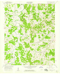
1958 Map of New Middleton
USGS Topo · Published 1958About this map
New Middleton and the surrounding Smith and Wilson County landscapes are defined by a dense network of knobs and hollows drained by Round Lick Creek and its many tributaries. The 1950s terrain is marked by numerous family and community landmarks, including Barnett Cem, Enoch Cem, and Bethlehem Cem, reflecting generations of settlement in the Tennessee interior. The Tennessee Central railroad cuts through the southern portion of the map, serving small communities like Commerce. To the north, the waters of Old Hickory Lake meet the mouth of Jennings Fork. The distribution of rural landmarks such as Rawls Creek Ch and Good Hope Ch alongside named elevations like Tomahawk Knob and Blue Knob provides a clear view of the mid-century social and physical geography before later modern development.
Find a feature on this map
55 named features on this map. Tap any name to fly to it.
Don’t see what you’re looking for? This feature index may not catch every label — zoom into the map to look around manually.
Map Details
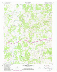
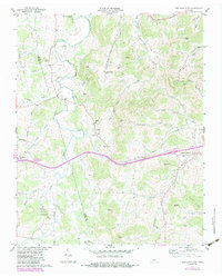
Editions of this 1958 New Middleton Map
4 editions found
Other maps of this area

1928 · Gordonsville
USGS Topo · 1:62,500

1932 · Carthage
USGS Topo · 1:62,500

1942 · Statesville
USGS Topo · 1:100,000

1956 · Corbin
USGS Topo · 1:250,000

1956 · Nashville
USGS Topo · 1:250,000

1958 · Corbin
USGS Topo · 1:250,000

1958 · Bellwood
USGS Topo · 1:24,000

1958 · Watertown
USGS Topo · 1:24,000

1958 · Dixon Springs
USGS Topo · 1:24,000
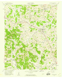
1958 · Alexandria
USGS Topo · 1:24,000