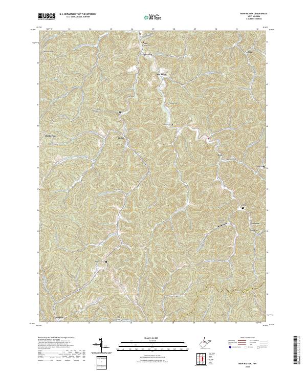
2023 Map of New Milton
USGS Topo · Published 2023About this map
New Milton lies at the convergence of numerous narrow valleys in Doddridge County, where Meathouse Fork and Toms Fork navigate the winding terrain. This landscape is defined by its deep connectivity between isolated hollows and high ridges like Maxwell Ridge, joined by an intricate network of rural routes including Porto Rico Rd and Willis Store Rd. The mapping reveals a pattern of small upland settlements and family landmarks, with several community centers like Avon, Market, and Coldwater situated along the primary watercourses.
Find a feature on this map
92 named features on this map. Tap any name to fly to it.
Don’t see what you’re looking for? This feature index may not catch every label — zoom into the map to look around manually.
Map Details
Editions of this 2023 New Milton Map
This is the sole edition of this map. No revisions or reprints were ever made.
Other maps of this area

1904 · Vadis
USGS Topo · 1:62,500

1905 · Centerpoint
USGS Topo · 1:62,500

1905 · West Union
USGS Topo · 1:62,500

1906 · Holbrook
USGS Topo · 1:62,500

1924 · Centerpoint
USGS Topo · 1:62,500

1924 · West Union
USGS Topo · 1:62,500

1924 · Holbrook
USGS Topo · 1:62,500

1925 · Centerpoint
USGS Topo · 1:62,500

1925 · Vadis
USGS Topo · 1:62,500

1926 · Holbrook
USGS Topo · 1:62,500