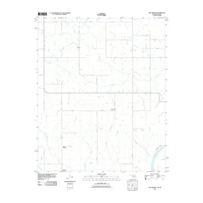
2010 Map of New Oberlin
USGS Topo · Published 2010About this map
New Oberlin and Oberlin anchor the southern landscape of this Choctaw County survey, situated just north of the winding Red River. The geography is defined by a dense network of tributaries including Whitegrass Creek, Carson Branch, and Little Dry Creek, which carve through the terrain toward the state border. This 2010 edition illustrates a rural Oklahoma landscape maintained by a strict grid of section roads like E 2100 RD and N 4030 RD. Local history is preserved in sites such as Crowder Cemetery and Crowder Springs Cemetery, while the distinctive elevation at Garretts Bluff overlooks the river's edge. The distribution of these features suggests a long-standing agricultural and residential pattern that relies on the natural drainage basins of Rock Creek and Lick Creek for land division and settlement placement.
Find a feature on this map
32 named features on this map. Tap any name to fly to it.
Don’t see what you’re looking for? This feature index may not catch every label — zoom into the map to look around manually.
Map Details
Editions of this 2010 New Oberlin Map
This is the sole edition of this map. No revisions or reprints were ever made.
Other maps of this area

1901 · Antlers
USGS Topo · 1:125,000

1903 · Paris
USGS Topo · 1:125,000

1912 · Antlers
USGS Topo · 1:125,000

1925 · Antlers
USGS Topo · 1:125,000

1948 · Grant
USGS Topo · 1:62,500

1948 · Direct
USGS Topo · 1:62,500

1949 · Direct
USGS Topo · 1:62,500

1949 · Grant
USGS Topo · 1:62,500

1950 · Mcalester
USGS Topo · 1:250,000

1953 · Texarkana
USGS Topo · 1:250,000