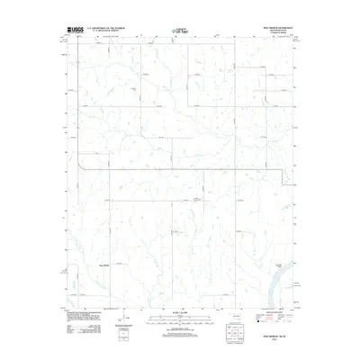
2012 Map of New Oberlin
USGS Topo · Published 2012About this map
New Oberlin sits at the heart of this rural landscape on the Oklahoma-Texas border, where the land is defined by a dense network of creek drainages flowing toward the Red River. The map shows a clear transition from the higher terrain near Garretts Bluff down to the bottomlands shaped by Whitegrass Cr, Rock Cr, and Little Dry Cr. Genealogists will find notable burial sites such as Crowder Cem and Crowder Springs Cem, which provide specific points of reference for local families in this portion of Choctaw County. The survey captures the area as a rural patchwork of section-line roads and small drainage basins, reflecting the persistent agrarian character of the Red River valley region in the early twenty-first century.
Find a feature on this map
33 named features on this map. Tap any name to fly to it.
Don’t see what you’re looking for? This feature index may not catch every label — zoom into the map to look around manually.
Map Details
Editions of this 2012 New Oberlin Map
This is the sole edition of this map. No revisions or reprints were ever made.
Other maps of this area

1901 · Antlers
USGS Topo · 1:125,000

1903 · Paris
USGS Topo · 1:125,000

1912 · Antlers
USGS Topo · 1:125,000

1925 · Antlers
USGS Topo · 1:125,000

1948 · Grant
USGS Topo · 1:62,500

1948 · Direct
USGS Topo · 1:62,500

1949 · Direct
USGS Topo · 1:62,500

1949 · Grant
USGS Topo · 1:62,500

1950 · Mcalester
USGS Topo · 1:250,000

1953 · Texarkana
USGS Topo · 1:250,000