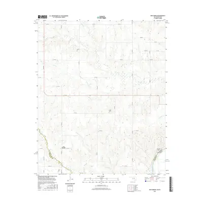
2016 Map of New Oberlin
USGS Topo · Published 2016About this map
New Oberlin and the surrounding Choctaw County landscape are defined by the intricate drainage systems flowing toward the Red River at the Oklahoma-Texas border. This 2016 survey captures a region of dispersed rural settlements and small cemeteries that reflect the local family heritage of the area. Significant local landmarks include Crowder Cem, Crowder Springs Cem, and Oberlin Cem, which serve as vital touchstones for genealogical research. The terrain is deeply etched by numerous waterways such as Pointer Cr, Whitegrass Cr, and Little Dry Cr, which create a complex network of ridges and draws. Near the southeastern corner, the settlement of Garretts Bluff sits near the river crossing, marking the boundary between Choctaw County, Oklahoma, and Lamar County, Texas.
Find a feature on this map
42 named features on this map. Tap any name to fly to it.
Don’t see what you’re looking for? This feature index may not catch every label — zoom into the map to look around manually.
Map Details
Editions of this 2016 New Oberlin Map
This is the sole edition of this map. No revisions or reprints were ever made.
Other maps of this area

1901 · Antlers
USGS Topo · 1:125,000

1903 · Paris
USGS Topo · 1:125,000

1912 · Antlers
USGS Topo · 1:125,000

1925 · Antlers
USGS Topo · 1:125,000

1948 · Grant
USGS Topo · 1:62,500

1948 · Direct
USGS Topo · 1:62,500

1949 · Direct
USGS Topo · 1:62,500

1949 · Grant
USGS Topo · 1:62,500

1950 · Mcalester
USGS Topo · 1:250,000

1953 · Texarkana
USGS Topo · 1:250,000