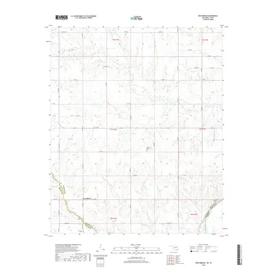
2018 Map of New Oberlin
USGS Topo · Published 2018About this map
New Oberlin and the winding course of the Red River anchor this rural landscape along the Oklahoma-Texas border. The terrain is defined by a dense network of watercourses, including the westward-flowing Whitegrass Cr, Rock Cr, and Pointer Cr, which carve through the plains of southern Choctaw County. This 2018 survey reveals a landscape of dispersed agricultural holdings connected by an orderly grid of county roads like E 2100 Rd and N 4040 Rd. Local history is preserved in several scattered burial sites, such as Crowder Cem, Crowder Springs Cem, and Oberlin Cem, which serve as quiet markers of the families who settled this borderland. Near the southeastern corner, the crossing at Garretts Bluff marks a historic point of contact between Choctaw and Lamar counties, where the river serves as both a natural boundary and a focal point for the region's geography.
Find a feature on this map
47 named features on this map. Tap any name to fly to it.
Don’t see what you’re looking for? This feature index may not catch every label — zoom into the map to look around manually.
Map Details
Editions of this 2018 New Oberlin Map
This is the sole edition of this map. No revisions or reprints were ever made.
Other maps of this area

1901 · Antlers
USGS Topo · 1:125,000

1903 · Paris
USGS Topo · 1:125,000

1912 · Antlers
USGS Topo · 1:125,000

1925 · Antlers
USGS Topo · 1:125,000

1948 · Grant
USGS Topo · 1:62,500

1948 · Direct
USGS Topo · 1:62,500

1949 · Direct
USGS Topo · 1:62,500

1949 · Grant
USGS Topo · 1:62,500

1950 · Mcalester
USGS Topo · 1:250,000

1953 · Texarkana
USGS Topo · 1:250,000