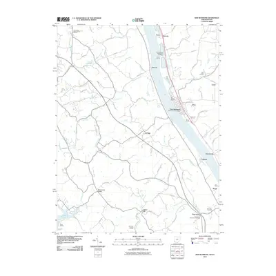
2010 Map of New Richmond
USGS Topo · Published 2010About this map
New Richmond anchors this riverfront landscape along the Ohio River, serving as a focal point for both Ohio and Kentucky residents. The river culture is evident through landmarks like Blairsville Landing, Sarvers Landing, and the Cobra Marina, highlighting the importance of waterway access for local industry and recreation. Further inland, the map reveals a network of rural communities such as Persimmon Grove, Carthage, and Gubser Mill, which reflect the region's agricultural roots.
Find a feature on this map
78 named features on this map. Tap any name to fly to it.
Don’t see what you’re looking for? This feature index may not catch every label — zoom into the map to look around manually.
Map Details
Editions of this 2010 New Richmond Map
This is the sole edition of this map. No revisions or reprints were ever made.
Other maps of this area

1898 · East Cincinnati
USGS Topo · 1:62,500

1914 · East Cincinnati
USGS Topo · 1:62,500

1914 · Batavia
USGS Topo · 1:48,000

1916 · Batavia
USGS Topo · 1:62,500

1929 · Alexandria
USGS Topo · 1:48,000

1931 · Felicity
USGS Topo · 1:62,500

1936 · Alexandria
USGS Topo · 1:62,500

1952 · Newport
USGS Topo · 1:24,000

1953 · Laurel
USGS Topo · 1:24,000

1953 · Withamsville
USGS Topo · 1:24,000