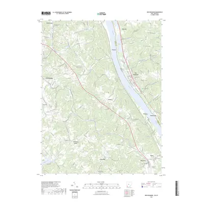
2023 Map of New Richmond
USGS Topo · Published 2023About this map
The Ohio River carves a deep valley between the Kentucky and Ohio banks, anchoring the development of riverfront settlements like New Richmond and California. This area is defined by its high density of rural cemeteries and churches, serving as a vital record for genealogists. Landmarks such as the Saint Josephs Catholic Church Cem near Camp Springs and the Flagg Springs Baptist Church Cem in the south reveal the religious foundations of these small communities.
Find a feature on this map
121 named features on this map. Tap any name to fly to it.
Don’t see what you’re looking for? This feature index may not catch every label — zoom into the map to look around manually.
Map Details
Editions of this 2023 New Richmond Map
This is the sole edition of this map. No revisions or reprints were ever made.
Other maps of this area

1898 · East Cincinnati
USGS Topo · 1:62,500

1914 · East Cincinnati
USGS Topo · 1:62,500

1914 · Batavia
USGS Topo · 1:48,000

1916 · Batavia
USGS Topo · 1:62,500

1929 · Alexandria
USGS Topo · 1:48,000

1931 · Felicity
USGS Topo · 1:62,500

1936 · Alexandria
USGS Topo · 1:62,500

1952 · Newport
USGS Topo · 1:24,000

1953 · Laurel
USGS Topo · 1:24,000

1953 · Withamsville
USGS Topo · 1:24,000