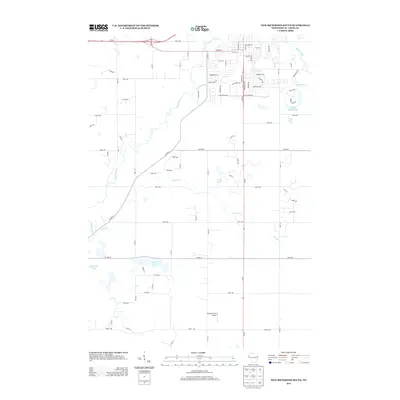
2013 Map of New Richmond South
USGS Topo · Published 2013About this map
The Willow River meanders through this portion of Saint Croix County, defining the hydraulic character of the landscape south of the main settlement. Subdivisions and established residential streets such as Madison Ave and S Knowles Ave mark the southern expansion of the community, where suburban growth meets the rural agricultural sections. The map shows a transition from structured town grids to open country, punctuated by small bodies of water like Lundy Pond and the aptly named Three Lakes.
Find a feature on this map
79 named features on this map. Tap any name to fly to it.
Don’t see what you’re looking for? This feature index may not catch every label — zoom into the map to look around manually.
Map Details
Editions of this 2013 New Richmond South Map
This is the sole edition of this map. No revisions or reprints were ever made.
Other maps of this area

1946 · River Falls
USGS Topo · 1:62,500

1948 · New Richmond
USGS Topo · 1:62,500

1949 · New Richmond
USGS Topo · 1:62,500

1949 · River Falls
USGS Topo · 1:62,500

1949 · Baldwin
USGS Topo · 1:62,500

1950 · Deer Park
USGS Topo · 1:62,500

1953 · Saint Paul
USGS Topo · 1:250,000

1953 · Stillwater
USGS Topo · 1:250,000

1955 · Stillwater
USGS Topo · 1:250,000

1958 · Stillwater
USGS Topo · 1:250,000