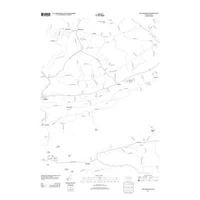
2013 Map of New Ringgold
USGS Topo · Published 2013About this map
The Little Schuylkill River carves through this corner of Schuylkill County, framing a landscape where agricultural valleys meet the steep ridges of the Blue Mountain range. Small settlements like New Ringgold, West Penn, and Quaker City are connected by a network of rural roads such as Cemetery Rd and Old Philly Pike, reflecting the long-established transit patterns of the region. The map captures a mix of utilitarian and recreational land use, from the West Penn Township Airport in the north to the protected stretches of the Appalachian Trail corridor in the south.
Find a feature on this map
133 named features on this map. Tap any name to fly to it.
Don’t see what you’re looking for? This feature index may not catch every label — zoom into the map to look around manually.
Map Details
Editions of this 2013 New Ringgold Map
This is the sole edition of this map. No revisions or reprints were ever made.
Other maps of this area

1889 · Hazleton
USGS Topo · 1:62,500

1889 · Pottsville
USGS Topo · 1:62,500

1891 · Hazleton
USGS Topo · 1:62,500

1891 · Pottsville
USGS Topo · 1:62,500

1892 · Mahanoy
USGS Topo · 1:62,500

1893 · Hazleton
USGS Topo · 1:62,500

1893 · Mahanoy
USGS Topo · 1:62,500

1909 · Hamburg
USGS Topo · 1:62,500

1911 · Hamburg
USGS Topo · 1:62,500

1944 · Orwigsburg
USGS Topo · 1:24,000
Featured Places
- West Penn Township, PA
- Albany Township, PA
- New Ringgold, PA
- Windsor Township, PA
- Clamtown, West Penn Township