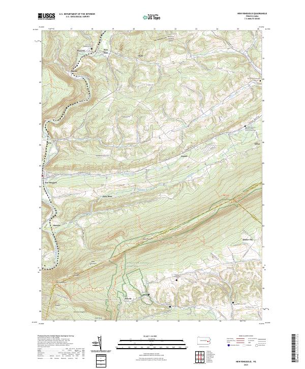
2023 Map of New Ringgold
USGS Topo · Published 2023About this map
New Ringgold serves as a focal point for this landscape where the Little Schuylkill River cuts through the ridges of Blue Mountain. The topography is defined by the steep parallel runs of the Chain and Summer Mountain, creating long, narrow valleys like Red Valley that have dictated the placement of historic settlements and transport routes. This map traces the dense concentration of early German heritage and community life through numerous small burial grounds, including the Zion United Methodist Cem and the West Penn German Eldership of the Church of God Cem.
Find a feature on this map
93 named features on this map. Tap any name to fly to it.
Don’t see what you’re looking for? This feature index may not catch every label — zoom into the map to look around manually.
Map Details
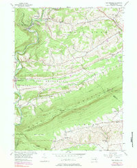
Editions of this 2023 New Ringgold Map
This is the sole edition of this map. No revisions or reprints were ever made.
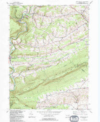
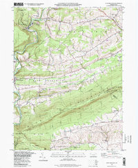
Historical Maps of East Brunswick Township Through Time
4 maps found
Featured Locations
- Albany Township, PA
- Windsor Township, PA
- New Ringgold, PA
- West Penn Township, PA
- Chain, West Penn Township