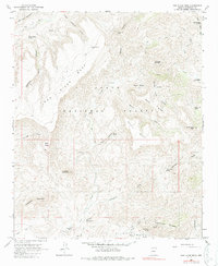
1964 Map of New River Mesa
USGS Topo · Published 1987About this map
Tonto National Forest land defines this portion of Maricopa County, characterized by a series of high mesas and deep canyons. The landscape is marked by historical mining activity, with the Phoenix Mine and Maricopa Mine located in the southern reaches, while the Grays Gulch Mine sits to the north. These sites, along with various Prospects, point to the region's mineral prospecting history.
Find a feature on this map
43 named features on this map. Tap any name to fly to it.
Don’t see what you’re looking for? This feature index may not catch every label — zoom into the map to look around manually.
Map Details
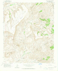
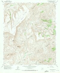
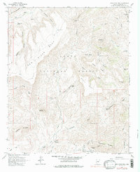
Editions of this 1964 New River Mesa Map
4 editions found
Other maps of this area

1887 · Verde
USGS Topo · 1:250,000

1887 · Prescott
USGS Topo · 1:250,000

1892 · Verde
USGS Topo · 1:250,000

1892 · Prescott
USGS Topo · 1:250,000

1903 · Bradshaw Mountains
USGS Topo · 1:125,000

1929 · Turret Peak
USGS Topo · 1:125,000

1930 · Cave Creek
USGS Topo · 1:125,000

1933 · Turret Peak
USGS Topo · 1:125,000

1939 · Cave Creek
USGS Topo · 1:125,000

1947 · Bumblebee
USGS Topo · 1:62,500