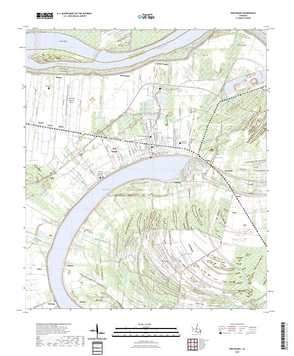
2024 Map of New Roads
USGS Topo · Published 2024About this map
The Pointe Coupee Parish Courthouse serves as the focal point of New Roads, a settlement defined by its position on the northern bank of the False River. This oxbow lake, once the main channel of the Mississippi River, creates a distinctive horseshoe landscape that has shaped local development for generations. The map reveals a dense network of family and community landmarks, including the Saint Marys Cem and Saint Augustine Cem, illustrating the deep-rooted genealogical heritage of this parish seat.
Find a feature on this map
104 named features on this map. Tap any name to fly to it.
Don’t see what you’re looking for? This feature index may not catch every label — zoom into the map to look around manually.
Map Details
Editions of this 2024 New Roads Map
This is the sole edition of this map. No revisions or reprints were ever made.
Other maps of this area

1906 · Bayou Sara
USGS Topo · 1:125,000

1939 · St. Francisville
USGS Topo · 1:62,500

1939 · Fordoche
USGS Topo · 1:62,500

1941 · Batchelor
USGS Topo · 1:62,500

1953 · New Roads
USGS Topo · 1:24,000

1954 · Port Hudson
USGS Topo · 1:24,000

1954 · Walls
USGS Topo · 1:24,000

1954 · Elm Park
USGS Topo · 1:24,000

1954 · Fordoche
USGS Topo · 1:24,000

1954 · Erwinville
USGS Topo · 1:24,000