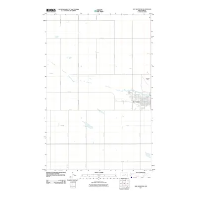
2011 Map of New Rockford
USGS Topo · Published 2011About this map
New Rockford serves as the focal point of this region, situated along the banks of the James River in the heart of Eddy County. The town's grid is well-defined, stretching from 1st Ave N down to 3rd Ave S, with Central Ave acting as a primary thoroughfare. The river's influence on the local infrastructure is evident at the New Rockford Dam, which regulates the water flow north of the main settlement.
Find a feature on this map
28 named features on this map. Tap any name to fly to it.
Don’t see what you’re looking for? This feature index may not catch every label — zoom into the map to look around manually.
Map Details
Editions of this 2011 New Rockford Map
This is the sole edition of this map. No revisions or reprints were ever made.
Other maps of this area

1931 · Oberon
USGS Topo · 1:62,500

1932 · Flora
USGS Topo · 1:62,500

1948 · New Rockford
USGS Topo · 1:62,500

1948 · Cathay
USGS Topo · 1:62,500

1949 · Cathay SE
USGS Topo · 1:24,000

1949 · Munster
USGS Topo · 1:24,000

1950 · New Rockford
USGS Topo · 1:24,000

1950 · New Rockford NE
USGS Topo · 1:24,000

1950 · Oberon SW
USGS Topo · 1:24,000

1950 · Sheyenne
USGS Topo · 1:24,000