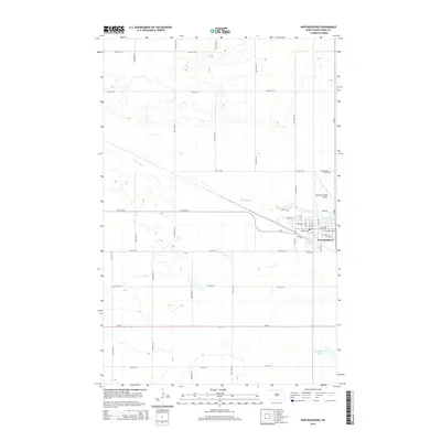
2014 Map of New Rockford
USGS Topo · Published 2014About this map
New Rockford serves as the focal point of this Eddy County landscape, situated at a bend in the James River. The town's grid is well-defined, stretching from Central Ave north toward the Tomlinson Field Airport. The surrounding terrain is typical of the North Dakota prairie, marked by natural depressions and seasonal water bodies like Schwoebel Slough to the southeast. Outside the immediate town center, a regular network of section-line roads such as 65th Ave NE and 17th St NE partitions the agricultural land. Local history is anchored at the Prairie Home Cem, located north of the city limits along the Us-281 corridor. This 2014 survey captures the interface between a rural regional hub and the expansive plains that define the central part of the state.
Find a feature on this map
40 named features on this map. Tap any name to fly to it.
Don’t see what you’re looking for? This feature index may not catch every label — zoom into the map to look around manually.
Map Details
Editions of this 2014 New Rockford Map
This is the sole edition of this map. No revisions or reprints were ever made.
Other maps of this area

1931 · Oberon
USGS Topo · 1:62,500

1932 · Flora
USGS Topo · 1:62,500

1948 · New Rockford
USGS Topo · 1:62,500

1948 · Cathay
USGS Topo · 1:62,500

1949 · Cathay SE
USGS Topo · 1:24,000

1949 · Munster
USGS Topo · 1:24,000

1950 · New Rockford
USGS Topo · 1:24,000

1950 · New Rockford NE
USGS Topo · 1:24,000

1950 · Oberon SW
USGS Topo · 1:24,000

1950 · Sheyenne
USGS Topo · 1:24,000