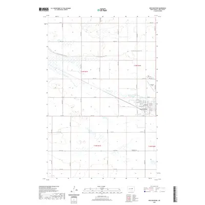
2020 Map of New Rockford
USGS Topo · Published 2020About this map
New Rockford serves as the focal point of this North Dakota landscape, situated along a prominent bend of the James River. As the seat of local government, the town is anchored by the Eddy County Court House and a grid of residential and commercial streets including Central Ave and River Drive. The surrounding plains are marked by a deep-rooted history of settlement, evidenced by the presence of multiple burial grounds such as Saint Johns Cem, Prairie Home Cem, and the German Free Church Cem located to the south. Modern recreation and transport also intersect here, with the N Country National Scenic Trail winding through the townships and Tomlinson Field providing local aviation access. The map clearly illustrates the transition from the organized town center to the vast agricultural sections defined by the Public Land Survey System.
Find a feature on this map
49 named features on this map. Tap any name to fly to it.
Don’t see what you’re looking for? This feature index may not catch every label — zoom into the map to look around manually.
Map Details
Editions of this 2020 New Rockford Map
This is the sole edition of this map. No revisions or reprints were ever made.
Other maps of this area

1931 · Oberon
USGS Topo · 1:62,500

1932 · Flora
USGS Topo · 1:62,500

1948 · New Rockford
USGS Topo · 1:62,500

1948 · Cathay
USGS Topo · 1:62,500

1949 · Cathay SE
USGS Topo · 1:24,000

1949 · Munster
USGS Topo · 1:24,000

1950 · New Rockford
USGS Topo · 1:24,000

1950 · New Rockford NE
USGS Topo · 1:24,000

1950 · Oberon SW
USGS Topo · 1:24,000

1950 · Sheyenne
USGS Topo · 1:24,000