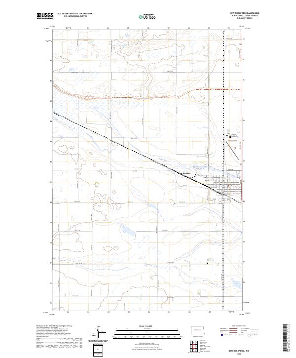
2024 Map of New Rockford
USGS Topo · Published 2024About this map
New Rockford serves as the focal point of this Eddy County landscape, situated at a bend in the James River. The town layout is clearly defined by a grid of numbered avenues and streets, including Central Ave and 1st Ave S, centered around the Eddy County Court House. This survey reflects the agricultural character of central North Dakota, where large section blocks are punctuated by small wetlands and prairie potholes. The North Country National Scenic Trl traverses the northern half of the region, cutting across several sections before turning east. Outside the main settlement, several burial sites provide important markers for local genealogical research, including Saint Johns Cem and Prairie Home Cem to the northeast, and the German Free Church Cem located further south along 16th St Ne.
Find a feature on this map
33 named features on this map. Tap any name to fly to it.
Don’t see what you’re looking for? This feature index may not catch every label — zoom into the map to look around manually.
Map Details
Editions of this 2024 New Rockford Map
This is the sole edition of this map. No revisions or reprints were ever made.
Other maps of this area

1931 · Oberon
USGS Topo · 1:62,500

1932 · Flora
USGS Topo · 1:62,500

1948 · New Rockford
USGS Topo · 1:62,500

1948 · Cathay
USGS Topo · 1:62,500

1949 · Cathay SE
USGS Topo · 1:24,000

1949 · Munster
USGS Topo · 1:24,000

1950 · New Rockford
USGS Topo · 1:24,000

1950 · New Rockford NE
USGS Topo · 1:24,000

1950 · Oberon SW
USGS Topo · 1:24,000

1950 · Sheyenne
USGS Topo · 1:24,000