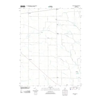
2010 Map of New Salem
USGS Topo · Published 2010About this map
New Salem and the rural crossroads of Orange anchor this corner of Rush County, defined by a landscape of small farmsteads and the winding headwaters of the Little Flatrock River. The region's history is deeply etched into the land through its numerous burial grounds, including the Old Friends Church Cemetery and Old Brick Cemetery, suggesting early Quaker influence and long-established family ties. The topography is shaped by a dense network of watercourses like Sanes Creek and Frazee Creek, which weave between the gridded county roads. In the south, the Woodland Retreat Dam has created Woodland Retreat Lake, a focal point of local water management. The area maintains its agricultural character, with small settlements like Glenwood and Farmington serving as historic touchpoints for the surrounding township.
Find a feature on this map
45 named features on this map. Tap any name to fly to it.
Don’t see what you’re looking for? This feature index may not catch every label — zoom into the map to look around manually.
Map Details
Editions of this 2010 New Salem Map
This is the sole edition of this map. No revisions or reprints were ever made.
Other maps of this area

1953 · Cincinnati
USGS Topo · 1:250,000

1956 · Alpine
USGS Topo · 1:24,000

1956 · Metamora
USGS Topo · 1:24,000

1956 · Connersville
USGS Topo · 1:24,000

1957 · Cincinnati
USGS Topo · 1:250,000

1958 · Clarksburg
USGS Topo · 1:24,000

1959 · Milroy
USGS Topo · 1:24,000

1959 · Rushville
USGS Topo · 1:24,000

1959 · New Salem
USGS Topo · 1:24,000

1959 · Mays
USGS Topo · 1:24,000