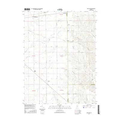
2016 Map of New Salem
USGS Topo · Published 2016About this map
New Salem and Orange anchor this rural landscape where the border of Rush, Fayette, and Franklin counties meet. The terrain is defined by a series of north-south flowing watercourses, including the Little Flatrock River, Sanes Cr, and the branches of Garrison Creek. These waterways dictated the placement of early settlements and road networks, such as E-Orange Pike, which cuts across the established township grid.
Find a feature on this map
63 named features on this map. Tap any name to fly to it.
Don’t see what you’re looking for? This feature index may not catch every label — zoom into the map to look around manually.
Map Details
Editions of this 2016 New Salem Map
This is the sole edition of this map. No revisions or reprints were ever made.
Other maps of this area

1953 · Cincinnati
USGS Topo · 1:250,000

1956 · Alpine
USGS Topo · 1:24,000

1956 · Metamora
USGS Topo · 1:24,000

1956 · Connersville
USGS Topo · 1:24,000

1957 · Cincinnati
USGS Topo · 1:250,000

1958 · Clarksburg
USGS Topo · 1:24,000

1959 · Milroy
USGS Topo · 1:24,000

1959 · Rushville
USGS Topo · 1:24,000

1959 · New Salem
USGS Topo · 1:24,000

1959 · Mays
USGS Topo · 1:24,000