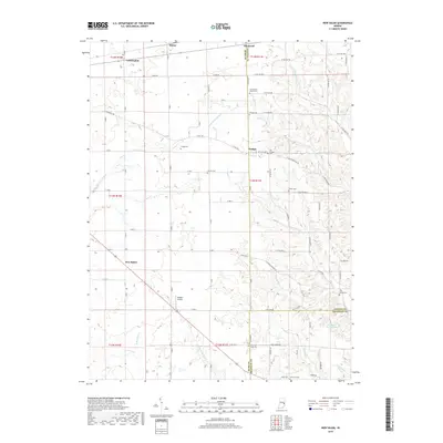
2019 Map of New Salem
USGS Topo · Published 2019About this map
Orange and New Salem anchor this rural landscape at the intersection of Rush, Fayette, and Franklin counties. The terrain is defined by the drainage of the Little Flatrock River and Sanes Cr, where the winding topography of the East Fork White River watershed begins to take shape. This survey reveals a dense network of local family history markers, particularly through its numerous burial grounds. From the Old Friends Church Cem in the north to the Little Salt Creek Cem and Old Brick Cem near the southern border, these sites point to the long-standing agricultural communities that have occupied these hills for generations. The inclusion of McMinn Airport and small hamlets like Mauzy and Farmington illustrates the modern configuration of this farming region, while the creek names like Frazee Cr and Little Sanes Cr highlight the water sources that dictated early settlement patterns.
Find a feature on this map
80 named features on this map. Tap any name to fly to it.
Don’t see what you’re looking for? This feature index may not catch every label — zoom into the map to look around manually.
Map Details
Editions of this 2019 New Salem Map
This is the sole edition of this map. No revisions or reprints were ever made.
Other maps of this area

1953 · Cincinnati
USGS Topo · 1:250,000

1956 · Alpine
USGS Topo · 1:24,000

1956 · Metamora
USGS Topo · 1:24,000

1956 · Connersville
USGS Topo · 1:24,000

1957 · Cincinnati
USGS Topo · 1:250,000

1958 · Clarksburg
USGS Topo · 1:24,000

1959 · Milroy
USGS Topo · 1:24,000

1959 · Rushville
USGS Topo · 1:24,000

1959 · New Salem
USGS Topo · 1:24,000

1959 · Mays
USGS Topo · 1:24,000