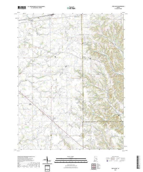
2022 Map of New Salem
USGS Topo · Published 2022About this map
New Salem and Glenwood anchor this corner of southeastern Indiana, where the rural landscape is defined by the winding paths of the Little Flatrock River and Sanes Cr. The map reveals a deeply rooted community structure, evidenced by numerous historical burying grounds such as Old Friends Church Cem, Heaton Cem, and the Old Brick Cem near the southern boundary. The presence of Old Friends Church reflects the region's Quaker heritage, while small settlements like Orange and Farmington mark traditional crossroads. The terrain transitions toward more dissected drainage patterns near the Fayette and Franklin County lines, visible where Little Salt Cr and the S Br Garrison Cr have carved the land. Modern utility is represented by McMinn Airport and the Woodland Retreat Lake, which sit alongside a dense network of county roads like E Orange Pike that follow the original section lines of the Public Land Survey System.
Find a feature on this map
56 named features on this map. Tap any name to fly to it.
Don’t see what you’re looking for? This feature index may not catch every label — zoom into the map to look around manually.
Map Details
Editions of this 2022 New Salem Map
This is the sole edition of this map. No revisions or reprints were ever made.
Other maps of this area

1953 · Cincinnati
USGS Topo · 1:250,000

1956 · Alpine
USGS Topo · 1:24,000

1956 · Metamora
USGS Topo · 1:24,000

1956 · Connersville
USGS Topo · 1:24,000

1957 · Cincinnati
USGS Topo · 1:250,000

1958 · Clarksburg
USGS Topo · 1:24,000

1959 · Milroy
USGS Topo · 1:24,000

1959 · Rushville
USGS Topo · 1:24,000

1959 · New Salem
USGS Topo · 1:24,000

1959 · Mays
USGS Topo · 1:24,000