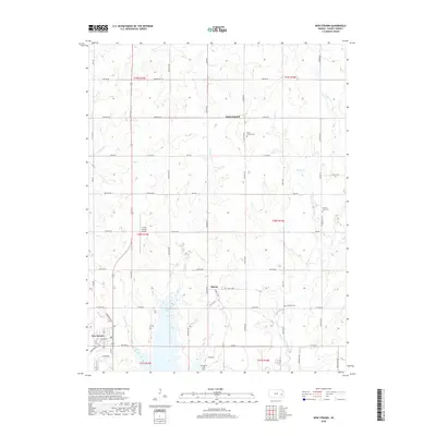
2018 Map of New Strawn
USGS Topo · Published 2018About this map
New Strawn and the surrounding eastern Kansas prairie are defined here by a structured grid of agricultural roads and the presence of several small rural communities. The map documents the northern reaches of John Redmond Reservoir, where Wolf Cr and Long Cr drain toward the larger water body. This area serves as a focal point for the region's infrastructure, housing the Coffey County Airport and a network of arterial routes like Lynx Rd and Reaper Rd.
Find a feature on this map
67 named features on this map. Tap any name to fly to it.
Don’t see what you’re looking for? This feature index may not catch every label — zoom into the map to look around manually.
Map Details
Editions of this 2018 New Strawn Map
This is the sole edition of this map. No revisions or reprints were ever made.
Other maps of this area

1885 · Burlington
USGS Topo · 1:125,000

1894 · Burlington
USGS Topo · 1:125,000

1947 · Lawrence
USGS Topo · 1:250,000

1950 · Lawrence
USGS Topo · 1:250,000

1956 · Lawrence
USGS Topo · 1:250,000

1957 · Lebo
USGS Topo · 1:24,000

1957 · Waverly NW
USGS Topo · 1:24,000

1957 · Waverly
USGS Topo · 1:24,000

1961 · Lawrence
USGS Topo · 1:250,000
1966 · John Redmond Dam
USGS Topo · 1:24,000