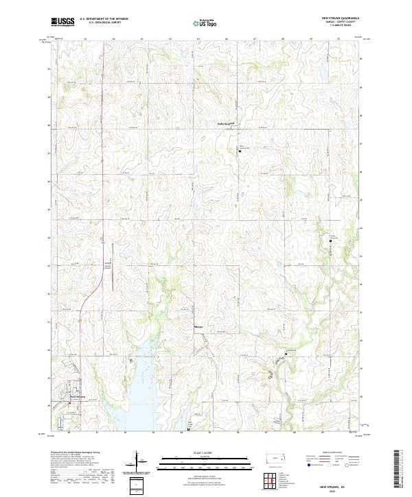
2022 Map of New Strawn
USGS Topo · Published 2022About this map
The waters of Wolf Creek and Long Cr dominate this area of Coffey County, north of the large reservoir that reshaped the local topography. New Strawn stands as a primary settlement in the southwestern corner, established as a modern relocation for residents after the valley was flooded. To the north, the small rural communities of Halls Summit and Sharpe preserve the original agricultural grid of the Kansas plains.
Find a feature on this map
65 named features on this map. Tap any name to fly to it.
Don’t see what you’re looking for? This feature index may not catch every label — zoom into the map to look around manually.
Map Details
Editions of this 2022 New Strawn Map
This is the sole edition of this map. No revisions or reprints were ever made.
Other maps of this area

1885 · Burlington
USGS Topo · 1:125,000

1894 · Burlington
USGS Topo · 1:125,000

1947 · Lawrence
USGS Topo · 1:250,000

1950 · Lawrence
USGS Topo · 1:250,000

1956 · Lawrence
USGS Topo · 1:250,000

1957 · Lebo
USGS Topo · 1:24,000

1957 · Waverly NW
USGS Topo · 1:24,000

1957 · Waverly
USGS Topo · 1:24,000

1961 · Lawrence
USGS Topo · 1:250,000
1966 · John Redmond Dam
USGS Topo · 1:24,000